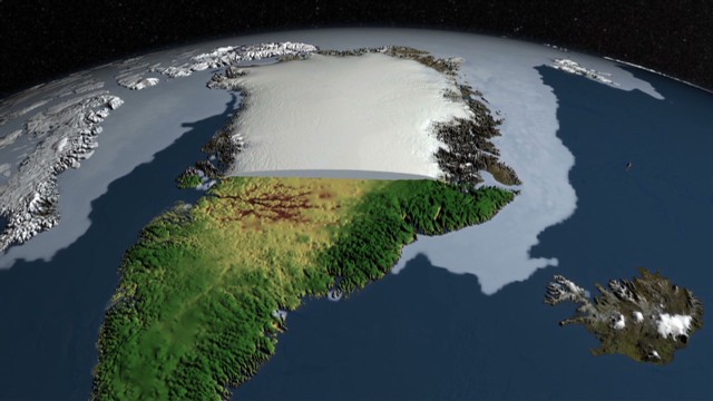
British and American scientists watching Greenland's massive ice sheet have found what appears to be a 460-mile "megacanyon" far beneath the frozen surface of the world's largest island.
Airborne radar images
taken by the U.S. space agency NASA and compiled by scientists at the
University of Bristol revealed the canyon's existence, Bristol
glaciologist Jonathan Bamber said Thursday. It's buried under the layer
of ice that blankets Greenland, a covering up to 3 kilometers
(1.9
miles) thick.
The gouge is about 50%
longer than Arizona's 277-mile Grand Canyon, but not as deep -- ranging
from 650 feet to about 2,600 feet (200 to 800 meters), Bamber said. It
runs from the middle of Greenland to its northern shore, on the Arctic
Ocean, and it's likely to have been covered over by ice for 4 million
years.
"It's a continuous
canyon. It's pretty deep. It very much looks like it predates the ice
sheets," Bamber said. "We think it's indicative of a river system that
was here before the ice sheet was there, and which perhaps was modified
by the ice sheet cover some, but not much."

No comments:
Post a Comment